Bureau of Land Management Rangeland Health Data Map
Livestock Grazing Allotments
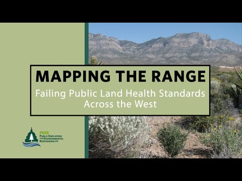
The Bureau of Land Management (BLM) administers more than 245 million acres of public land. There are 155 million acres of leased livestock grazing allotments in ten western states. PEER has created a visual compilation of BLM data on the rangeland health of each allotment. Through multiple public record requests, PEER gathered the agency’s data from 1997 through 2023, from each state and every field office. PEER plotted the data from 21,000 allotments on one interactive map. Click the image below to explore the map.
Rangeland health – or Land Health Standards (LHS) – refers to the quality and sustainability of waterways, habitats, soil, flora and fauna on the range (43 CFR §§ 4180.1, 4180.2). Many factors impact rangeland health– off road vehicles, drought, the spread of invasive species and fire. However, BLM identifies livestock grazing as the most frequently cited cause of range failure.
- More than 56 million acres of land assessed by BLM failed land health standards;
- On at least 37 million acres, livestock is identified as the major cause of failure. BLM has found that overgrazing is the biggest cause of land health failure across the West by far;
-
Results varied widely by state, with Idaho reporting only 25% of its range meeting land health standards compared to an 83% success rate in next-door Montana;
-
BLM has not completed land health assessments on more than 36 million acres; and,
-
Nine out of ten BLM state offices report that they are renewing more than half of the grazing permits for another ten years without National Environmental Policy Act review.

Analysis & Trends
 Rangeland Health Fact Sheet
 Rangeland Health Fact Sheet
Get an overview of the current state of rangeland health across BLM-managed public lands. We share key findings and recommendations for improvement.
Rangeland Health Analysis
 Rangeland Health Analysis
Dive deep into our analysis of the latest available rangeland health data to understand the impacts of grazing on BLM-managed lands.
State Statistical Summaries
 State Statistical Summaries
Explore trends across our 2018, 2020 and 2023 datasets to better understand regional differences in rangeland health.
Click below to download summaries by state:
Additional Resources
Rangeland Map News
FOR RELEASE | May 29, 2024
Range Damage from Cattle Far Exceeds Wild Horse Impacts
 Range Damage from Cattle Far Exceeds Wild Horse Impacts
No Livestock Reductions Despite Severe Damage As Wild Horse Roundups Persist
It’s Not Easy Being a BLM Range Conservationist
 It’s Not Easy Being a BLM Range Conservationist
Former BLM employee Kathy Voth shares her perspective on the agency’s management of federal rangelands
FOR RELEASE | May 15, 2024
Much of U.S. Rangeland in Poor Ecological Condition

Livestock Leading Cause for Failing Minimum Landscape Health Standards