
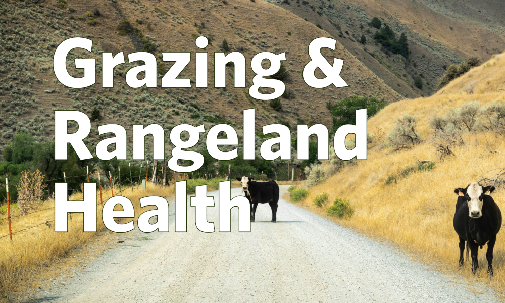
 On more than 250 million acres of public lands in the American West, grazing by domestic livestock constitutes by far the most widespread human-caused impact on fundamental range conditions, including habitat quality, riparian functioning, and endangered species. More extensive than the impacts of logging and mining combined, commercial livestock grazing exacts an enormous toll on native ecosystems and wildlife throughout the American West. The federal government has yet to asses the impacts of the grazing program on climate. The significance of livestock methane production and desertification are certainly contributing factors to global warming. Grazing is a cited factor in the endangerment of federally listed threatened and endangered species and a major contributor to non-point source water pollution.
The Forest Service (FS) manages grazing on 102 acres of public land and the Bureau of Land Management (BLM), administrator grazing permits on 155 million acres.
BLM is required to monitor the ecological impacts of grazing on its lands. BLM conducts field evaluations of whether its grazing allotments meet “Land Health Standards” (LHS), but until now the results of these evaluations have been largely inaccessible to those outside the agency and their results have escaped independent review.
Mapping Rangeland Health

Our interactive BLM Rangeland Health Standards Evaluation Data (2020) on MangoMaps is based on data from 2020, obtained via the Freedom of Information Act. PEER worked with a former BLM contractor to analyze what these records reveal about the condition of our public lands and BLM’s discharge of its duties to safeguard them.